Welcome to the June edition of the Copeland GDF Working Group newsletter.
I had hoped to be able to bring you details of our July eight-date public exhibitions roadshow. However, due to the Government announcement this week that Covid restrictions are set to continue until July 19, we are now re-looking at our plans.
It’s therefore a shorter newsletter than usual but do read on to hear views on GDF from Matt Aukett, Chair of the Cumbria branch of the Nuclear Institute and we also have our regular Open to Question section.
A lot of work has been taking place to organise the face to face exhibitions we were hoping to start in early July so we could meet in person, hear your views and answer questions – and of course we can still bring you everything we had planned for people in Copeland, at a later date.
We want to ensure that we bring those exhibitions to you once restrictions allow us to do so safely. In the meantime, we will continue our conversations with you about what a GDF is, how a suitable site is identified and what it could mean for Copeland.
You can visit our Virtual Exhibition – an interactive digital experience – to find out more information about geological disposal and what it could mean for Copeland: Get involved https://southcopeland.workinginpartnership.org.uk/get-involved/- Working Group Copeland (workinginpartnership.org.uk)
Thanks to everyone who attended our webinars last month on geology – it was a good discussion on a topic a lot of people were interested in asking questions and finding out more.
As always, the Working Group welcomes any requests for information or talks, views can be shared and questions can be asked by contacting us via email: gdfinfo-copeland@nda.gov.uk telephone 0300 369 0000 or writing to: Copeland GDF Working Group, GDF Enquiries, PO Box 734, Swansea SA1 9RP.
Our website is: https://southcopeland.workinginpartnership.org.uk/
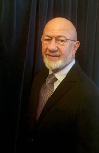
Mark Cullinan Independent Chair Copeland GDF Working Group
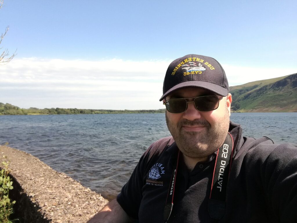
Matt Aukett Chair, Nuclear Institute Cumbria Branch
Key role for Copeland in the decision on siting a GDF for higher activity waste, by Matt Aukett, Chair, Nuclear Institute Cumbria Branch
“Nuclear power has played a key role in generating low carbon electricity since Calder Hall connected to the grid in 1956, but like many of the technologies modern day society relies on, there is a waste legacy that we must manage.
In the UK, a significant proportion of the challenging higher activity waste is stored here in Copeland. This makes any decision on managing or disposal of these wastes a significant issue for us here in Copeland whether that be as the home of the disposal site or as the interim home for the waste. As such it is key that as a local community we engage with the siting process to ensure that the right decisions are made on the long-term disposal of these wastes. This will allow us to influence the decisions to be made now that will impact future generations of our community, regardless of whether disposal is here in Copeland or elsewhere.
It is clear that long term interim storage of long-lived radioactive wastes is neither practicable or that it is ethically right for us to burden future generations with managing this legacy. Deep geological disposal within an engineered facility has been internationally recognised as the safest way to manage long lived higher activity waste allowing waste to be sealed away to safely decay.
With the world now starting to look forward post COVID, we have the opportunity to show that we can make timely progress in addressing the issues we have left ourselves from the pre-pandemic world, be that climate change or higher activity nuclear wastes. Much like the pandemic response, our decision making on how and where to dispose of wastes must be informed by expert scientific opinion. As stakeholders in that decision-making process, we need to seize the opportunity to understand the data and influence the timely making of the decision for siting the repository.
So, how can we play our role in the decision-making process?
Firstly, we can make sure that we are engaged with the process via the Copeland Working Group.
Secondly, you can get involved with the engagement sessions run by the Copeland Working Group, these sessions will enable you to examine and probe the data being used to inform the conversations – around GDF.
And thirdly you can lead discussions with your local community and decision-makers, ensuring that the community’s opinion is considered.”
Open to question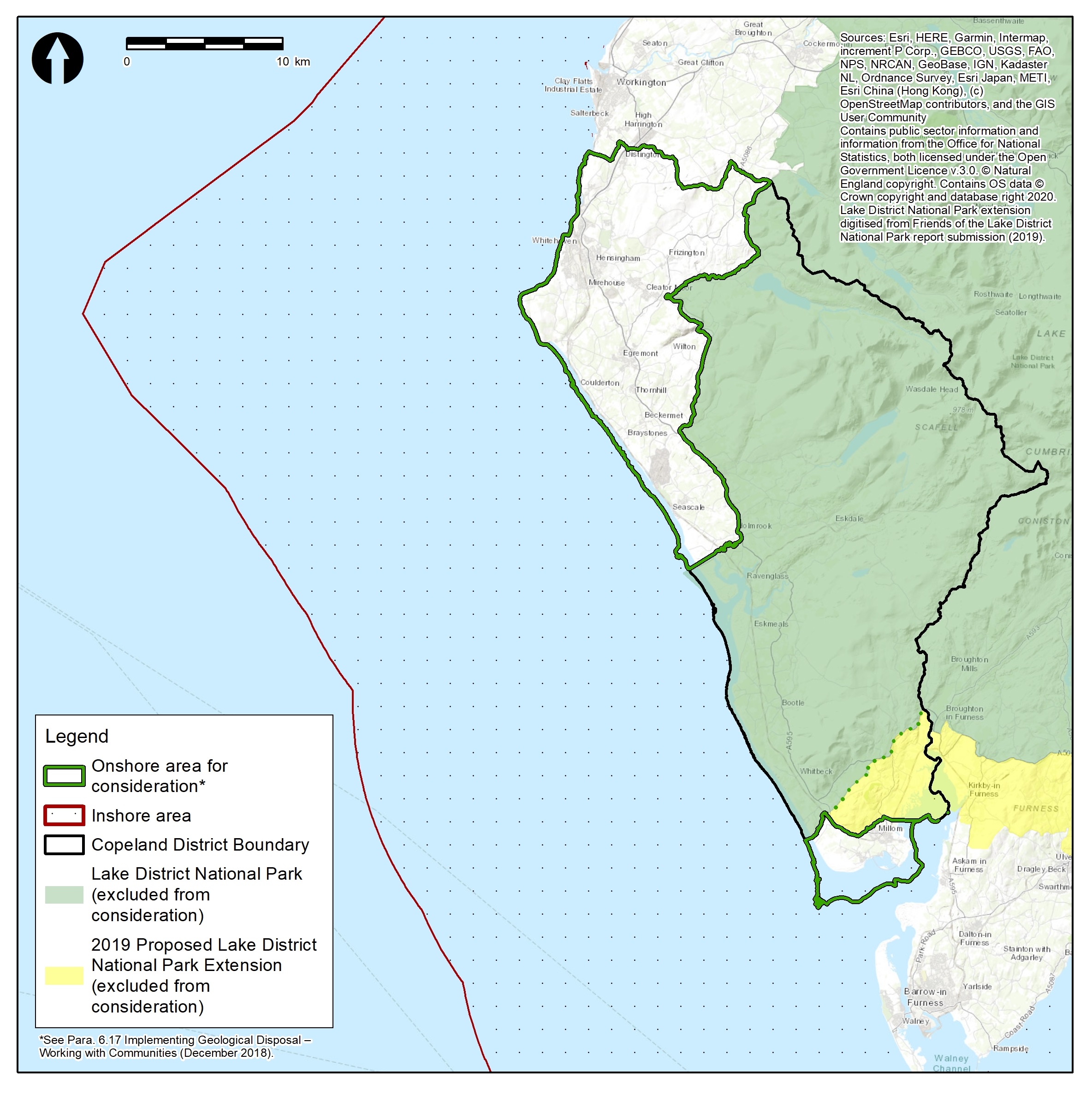
A question which regularly comes up in discussions with the Working Group is what are the different ‘areas’ and ‘sites’ that are talked about in the Geological Disposal Facility (GDF) siting process.
What is an Area of Interest?
During initial discussions prior to the formation of the Working Group, Areas of Interest are proposed by Interested Parties and Radioactive Waste Management (RWM) use these as a basis for the Initial Evaluations to determine if they have any potential to host a GDF.
In Copeland there were 4 areas of interest put forward:
- Inshore Area near to the Low Level Waste Repository (LLWR)
- South Copeland Area together with the adjacent inshore area
- Copeland area together with the adjacent inshore area
- Copeland area together with the adjacent inshore area
All areas of interest excluded consideration of the Lake District National Park.
Four separate Initial Evaluation Reports were produced by RWM for each of the Interested Parties which concluded there may be potential to host a GDF within the Areas of Interest. RWM and all Interested Parties agreed to open up discussion more widely and formed the Copeland GDF Working Group. No potential sites for a GDF were identified at this stage.
What is the Working Group Area?
Using the Areas of Interest brought forward by the Interested Parties, the Working Group agreed a Working Group Area. The Copeland GDF Working Group Area considers the whole of the Borough of Copeland and adjacent inshore area up to 22.2km from the coastline, with the exclusion of the area within the boundary of the Lake District National Park and subsequently the 2019 proposed extension. No potential sites for a GDF have been identified at this stage.
What is a Search Area?
One of the responsibilities of a Working Group is to identify a Search Area. The Search Area(s) is the geographical area within which RWM would undertake studies and consider potential sites for a GDF if a Community Partnership is formed. For areas which include potential for development under the seabed, the policy definition of the Search Area is only that area on land.
The Search Area is defined using district, or unitary council electoral ward boundaries, depending on the administrative arrangements in place. The Search Area(s) identified by the Working Group are simply a starting point in the GDF siting journey and can be refined further over time if a Community Partnership is formed.
What is a Potential Host Community?
A Community Partnership is intended to be a larger enduring group which would take over from the Working Group and consider the possibilities of GDF siting in more detail, including further public engagement and creating a ‘Community Vision’ for the long-term well-being of the community. It would be a partnership between members of the community, at least one principal local authority in the Search Area (such as district or county council) and RWM.
The Potential Host Community is the community within a geographical area that could potentially host a GDF. It will be identified over time from within the Search Area. The boundaries of the Potential Host Community need to be defined to determine who will get a say in the Test of Public Support. The Potential Host Community will be defined using district, or unitary council electoral ward boundaries, depending on the administrative arrangements in place in the area.
The Potential Host Community would include all of the wards in which the proposed surface and underground elements of a GDF; any associated development; transport links/routes from a proposed GDF and direct physical impacts associated with underground investigations, construction and operation of a GDF would be located.
Identifying a Potential Host Community will take several years due to the need to properly identify, investigate, and assess potential sites.

