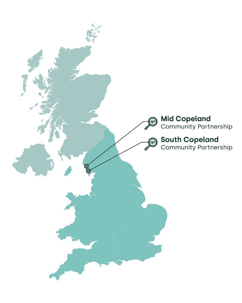
Nuclear Waste Services (NWS) has investigated several locations in the UK for a potential site. South Copeland is one of two being considered, with the potential for more communities to join the siting process.
- Mid Copeland
- South Copeland
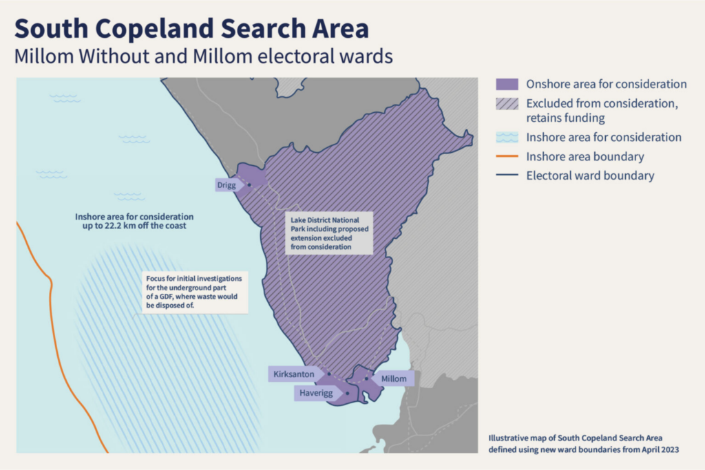
The South Copeland Search Area
Search Areas are the geographical areas on land within which Nuclear Waste Services (NWS) considers potential sites for a GDF. Search Areas are defined by electoral ward boundaries.
For South Copeland, the Search Area is the electoral wards of Millom and Millom Without. The area within the Lake District National Park and proposed Southern Boundary Extension are excluded from consideration for a GDF.
This Search Area was identified by The Copeland GDF Working Group who looked at readily available information on the local geology, environmental issues, transport infrastructure and safety using information from previous work in the area. You can read more about this in the Evaluation Reports below.
The boundaries of Search Areas are not fixed and as NWS’ investigations progress, the Community Partnership may review and refine the Search Area, as it identifies areas that it would prefer to be ruled out of consideration, or brings in additional areas that were not initially part of the Search Area.
What are the different elements of a GDF?
A GDF will comprise of three main elements – the right Sub-surface geological environment deep underground for the disposal area, a Surface location, and the ability to connect the two with Accessways.
The Working Group agreed that deep geology up to 22km beyond the coast, known as the inshore area, would be considered for the siting of the sub-surface elements of a GDF and that research should begin in this area.
A surface facility on the coast would provide access to a disposal area deep in the rock beyond the coast.
Areas of Focus
NWS has applied its methodology for identifying Areas of Focus to define the Sub-surface, Surface and Accessway Areas of Focus in the Search Areas.
One Surface Area of Focus in South Copeland – West of Haverigg – has been identified which NWS will prioritise and consider further at this time. You can read about South Copeland’s Area of Focus in the Identifying South Copeland Areas of Focus brochure.
Two Surface Areas of Focus have been identified in Mid Copeland – Land East of Sellafield and Land East of Seascale.
The Sub-surface Area of Focus off the coast is the same for South Copeland and Mid Copeland.
Copeland’s geology
Most of the area under consideration is discussed in the Northern England subregion 4 section of the National Geological Screening for a GDF.
Click on the links for more information.
This video looks at NWS’ ongoing work to develop geological understanding.